Have one like this?
Upload a photo for a free check of what yours may be worth.
Lot description
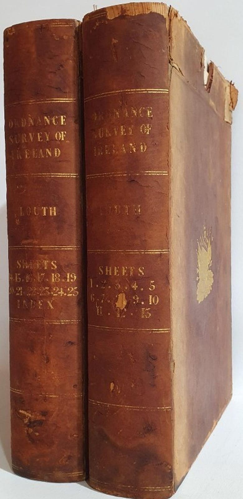
Ordnance Survey Maps- Co Louth. ORIGINAL maps surveyed in 1835 by Lieutenant Bordes and engraved in 1836 by Lieutenant Larcom at the Ordnance Survey Office Phoenix Park. Printed by Hodges and Smith Dublin. Each map dated and initialed (hand written) Linen Backed, red cloth trim. 38" X 26". 25 maps and Index. contained in two Original Leather Slipcases with a tooled stamp - the emblem of the Ordnanace Office of Ireland on both sides, gilt lettering on side. Exceptional item