Have one like this?
Upload a photo for a free check of what yours may be worth.
Lot description
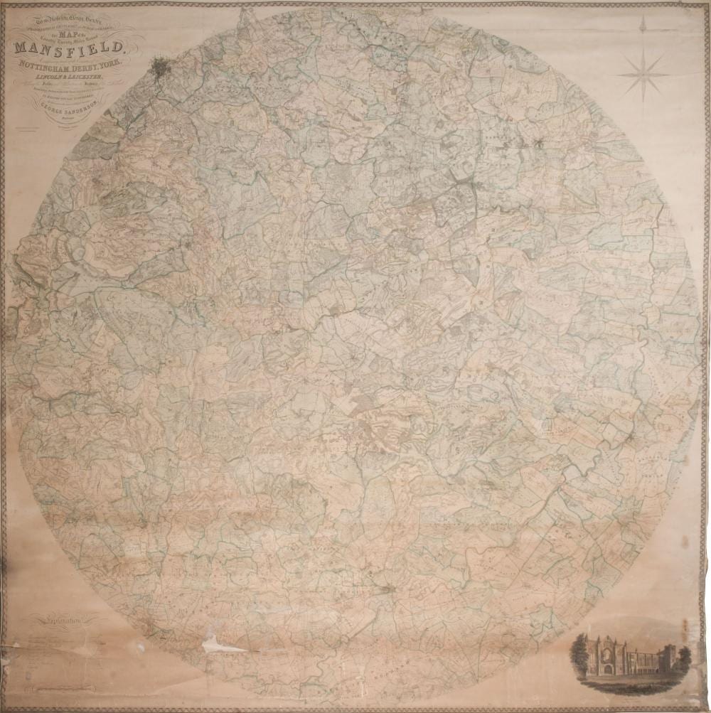
Sanderson (George). Monumental map of twenty miles around Mansfield, 1835 Sanderson (George). To the Nobility, Clergy, Gentry, Professional Gentlemen and Public in General, this Map of the Country Twenty Miles Round Mansfield, Comprehending Parts of the Counties of Nottingham, Derby, York, Lincoln and Leicester, showing the fields and characteristic features of the district from actual surveys made in the years 1830, 1831, 1832, 1833 & 1834..., published Mansfield Nottinghamshire, July 10th 1835, monumental circular wall map, engraved by J. & C. Walker, on four conjoined sheets, laid on linen, contemporary wash colouring, calligraphic title, compass rose, table of explanation and an engraved vignette of Newstead Abbey, some staining and dust soiling, the lower portion of the map with fraying and closed tears with some loss to the printed image, causing slight fraying, 2250 x 2260 mm QTY: (1)