Have one like this?
Upload a photo for a free check of what yours may be worth.
Lot description
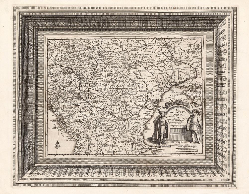
Amsterdam, 1729. Scarce copper-engraved map of Hungary, published by Pieter van der Aa. The map depicts the region from Prague to the Crimean Peninsula, extending south to Constantinople. The decorative title cartouche is flanked by two Hungarian nobles in elaborate national costumes – one holding a mace, the other with a sword at his side – with military trophies above them. The map was first issued in 1713, originally printed on a single sheet alongside Poland within an ornate border, and reissued a year later in a simplified version without a frame. Fifteen years later, it was republished in van der Aa’s monumental “La Galerie Agréable du Monde”, a collection of about sixty-six volumes, where it appeared once again as a separate sheet with an intricate decorative frame. According to bibliographic sources, the edition was limited to about 100 copies, making this fine and highly decorative map one of the most ambitious publishing ventures of the early eighteenth century. Dimensions: 340 × 425 (365 × 465) mm. Fine, clear copy. Szántai: Aa 1c.