Have one like this?
Upload a photo for a free check of what yours may be worth.
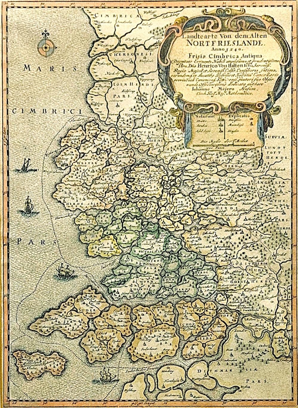
Lot description
colored copperplate map on paper, around 1652, upper right title cartouche "Landtcarte Von dem Alten Nortfrieslande" with legend and mile indicator, the map shows North Friesland as it was in 1240 before the devastating storm floods of 1362 and 1634, age-appropriate condition, the left margin added, paper browned, image 39 x 28 cm (HxW), passe-partout, framed behind glass, overall dimensions 53 x 42 cm (HxW) German Description Johannes Mejer, Karte von Nordfriesland (1606 Husum - 1674), kolorierte Kupferstichkarte/Papier, um 1652, oben rechts Titelkartusche "Landtcarte Von dem Alten Nortfrieslande." mit Legende und Meilenzeiger, die Landkarte zeigt Nordfriesland im Zustand des Jahres 1240 vor den verheerenden Sturmfluten 1362 und 1634, altersgemäßer Zustand, der linke Rand angesetzt, Papier gebräunt, Darstellung 39 x 28 cm (HxB), Passepartout, hinter Glas, gerahmt, Gesamtmaß 53 x 42 cm (HxB)