Have one like this?
Upload a photo for a free check of what yours may be worth.
Lot description
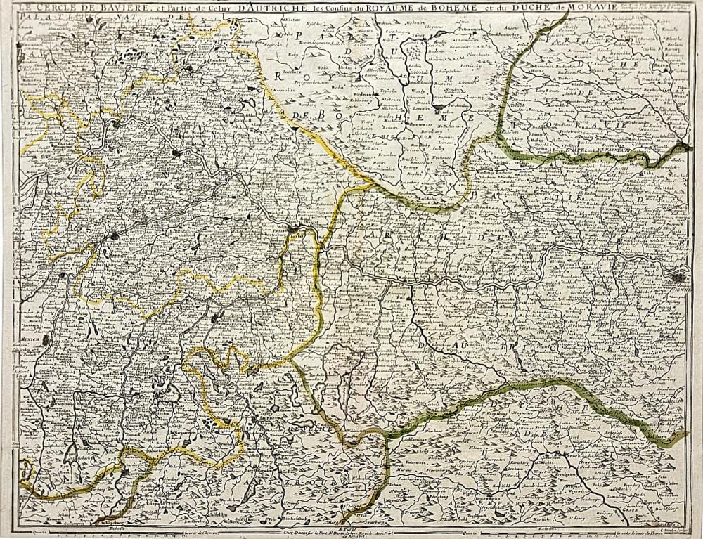
partially colored copperplate engraved map on paper, 1st half of the 18th century, titled "Le Cercle de Baviere, et Partie de Celuy D'Autriche les Confins du Royaume de Boheme et du Duche de Moravie" above the depiction, inscribed below the depiction, map of Upper Bavaria and parts of Austria, Bohemia, and Moravia, with the area between Munich, Amberg, and Vienna, with the Danube in the center, center fold, good age-appropriate condition, slightly stained, image 45 x 58.5 cm (HxW), passe-partout, overall dimensions 59.5 x 80 cm (HxW) German Description Nicolas de Fer, Karte von Bayern Kartograph und Verleger (1646 Paris - 1720 ebenda), teilkolorierte Kupferstichkarte/Papier, 1. Hälfte 18. Jh., oberhalb der Darstellung betitelt "Le Cercle de Baviere, et Partie de Celuy D'Autriche les Confins du Royaume de Boheme et du Duche de Moravie", unterhalb der Darstellung bezeichnet, Landkarte von Oberbayern und Teilen von Österreich, Böhmen und Mähren, mit dem Gebiet zwischen München, Amberg und Wien, zentral der Donaulauf, Mittelbug, altersgemäß guter Zustand, leicht fleckig, Darstellung 45 x 58,5 cm (HxB), Passepartout, Gesamtmaß 59,5 x 80 cm (HxB)