Have one like this?
Upload a photo for a free check of what yours may be worth.
Lot description
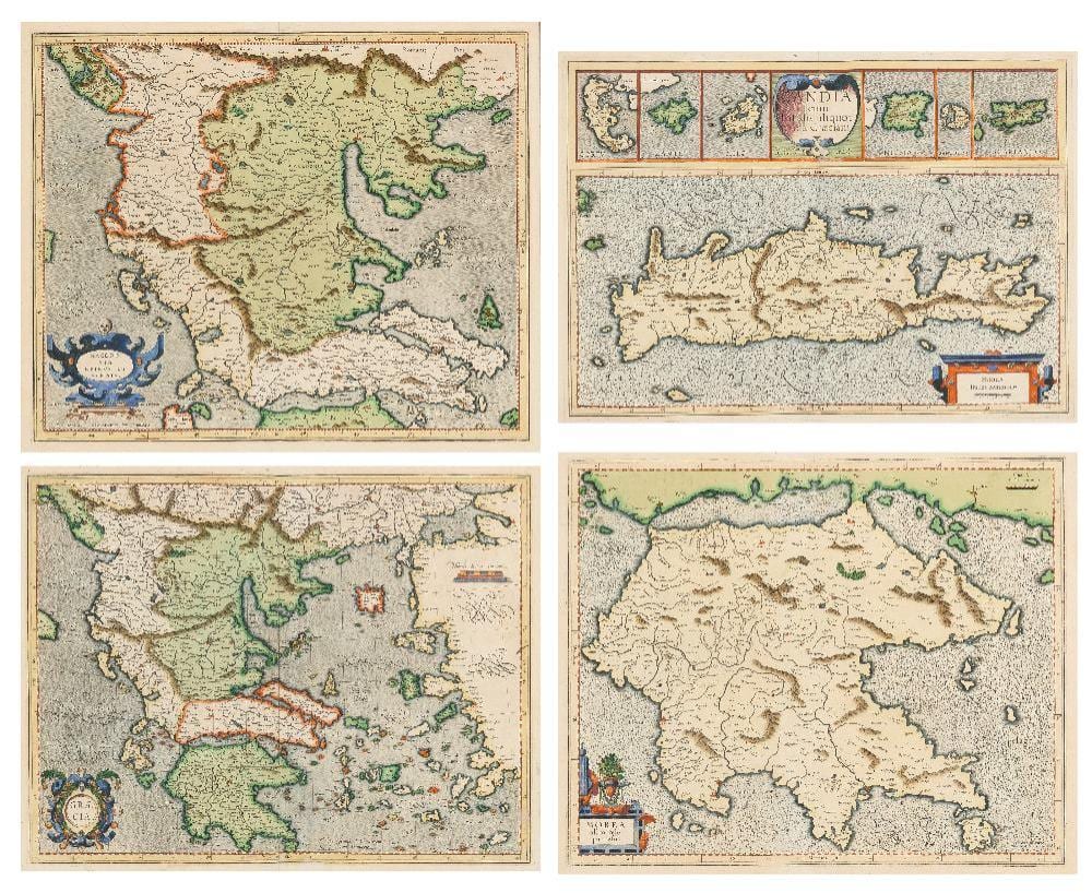
Gerard Mercator, Flemish 1512-1594- Four maps from the Melchior-Hondius Atlas: Candia cum insulis aliquot circa Graeciam; Graecia; Macedonia Epirus et Achaia; Morea olim Peloponnesus; hand-coloured engravings, the first 34.6 x 48.5 cm., the second 36.5 x 47 cm., the third 36 x 43.5 cm., the fourth 34 x 41.5 cm., four (4). Provenance: A distinguished family collection. Note: Mercator was a hugely influential geographer and cartographer, known for creating the revolutionary 1569 world map, which introduced the use of lines representing sailing courses of constant bearing (rhumb lines), an innovation known as the 'Mercator Projection' which is still used in nautical maps to this day.