Have one like this?
Upload a photo for a free check of what yours may be worth.
Lot description
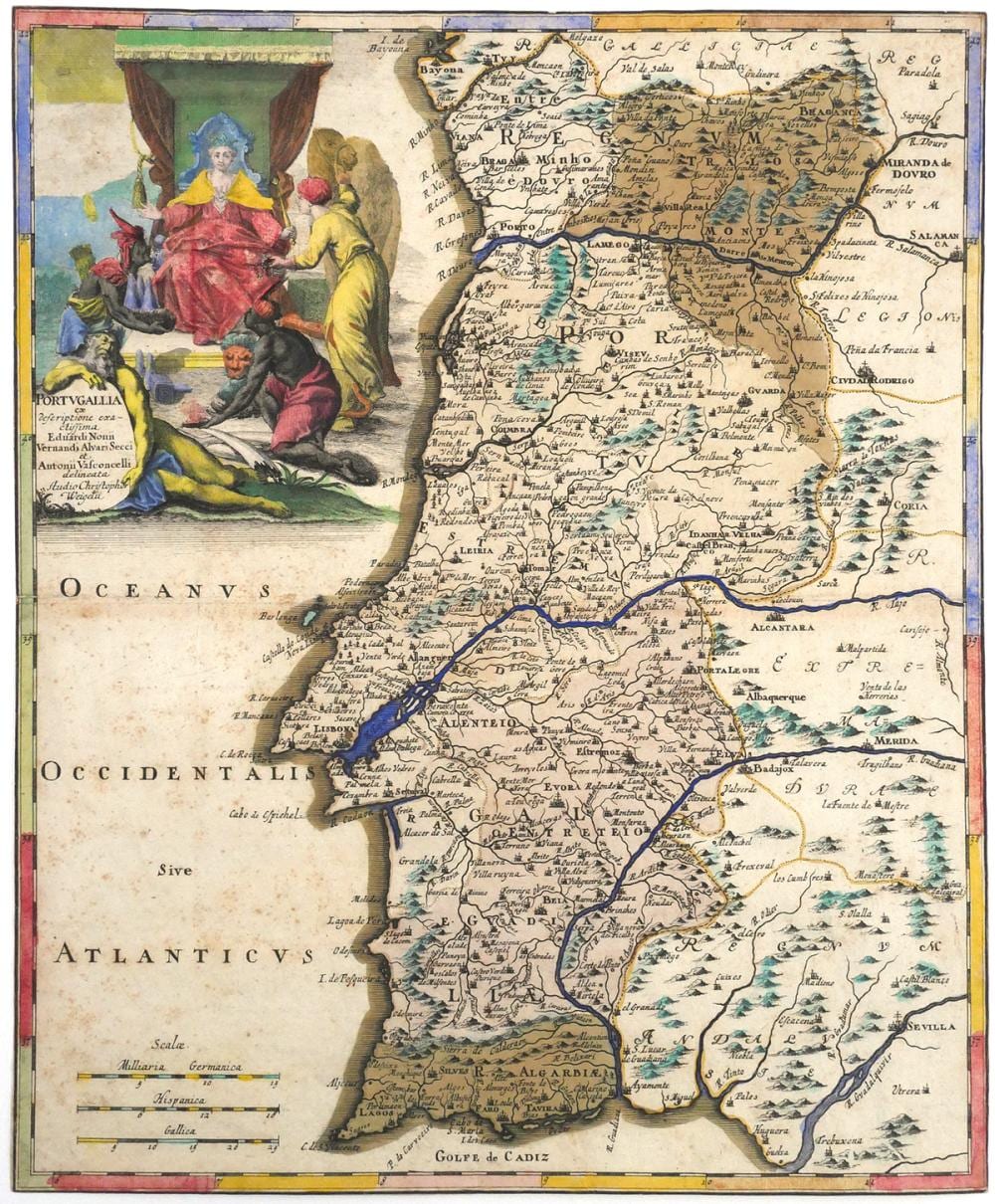
Engraved map titled "Portvgallia ex descriptione exactissima Eduardi Nonii, Vernandi Alvari Secci et Antonii Vasconcelli delineata. Studio Christoph. Weigelii." Published in Nuremberg circa 1720. Measures approx. 13" x 15-5/8". Features three distance scales labeled "Miliaria Germanica," "Hispanica," and "Gallica." Includes an allegorical cartouche showing a crowned female figure seated on a throne with four attendants. Coastal cities, rivers, and regional names are shown throughout. Reverse is inscribed "Portogallo." TAGS: Portugal map, engraved cartography, 18th century print, antique European map, Weigel Nuremberg, baroque illustration. This item can be shipped in-house.