Lot description
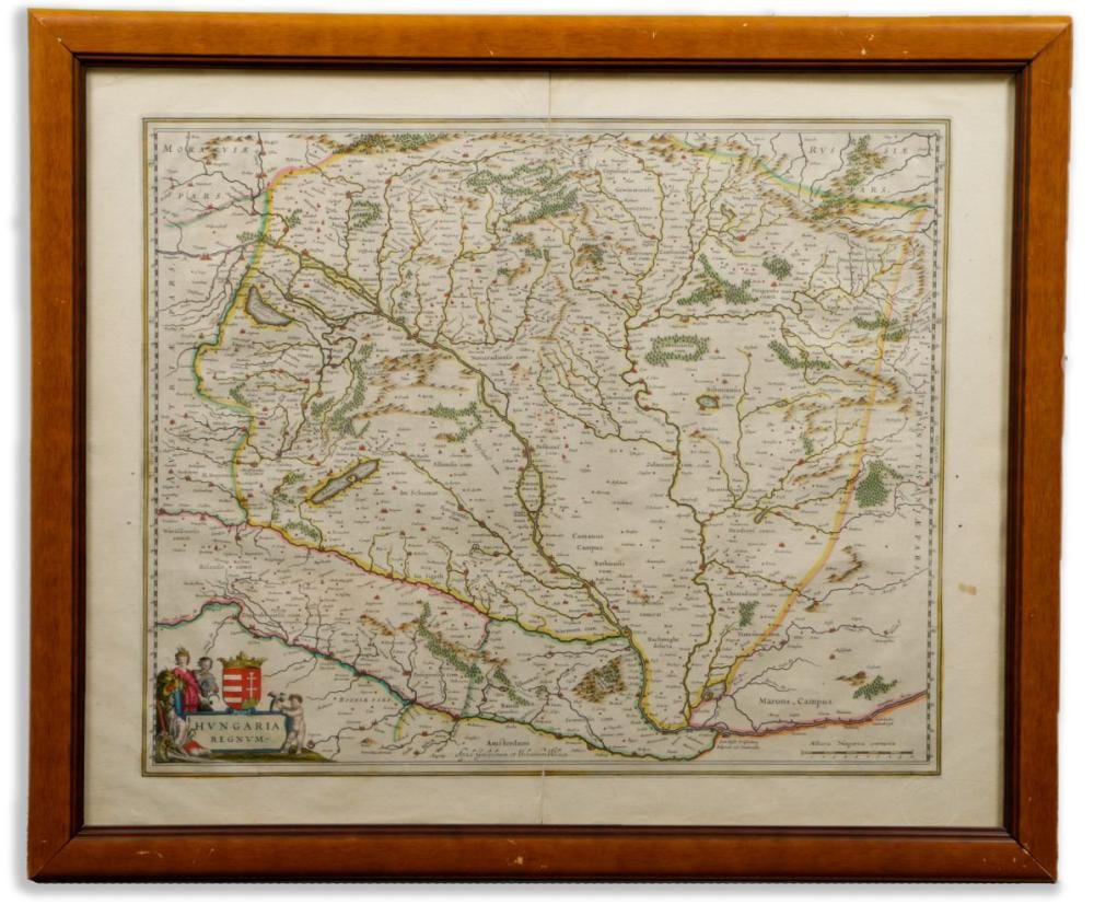
1635 Amsterdam A Blaeu-officina legkorábbi Magyarország térképe. 1635 és 1658 között kb. 30 kiadását élt meg az atlasz, melynek magyar lapja változatlan formában, gondos színezéssel jelent meg, csak a hátoldalon lévő szöveg változott. A Magyarország térképek Mercator-átvételek. Szántai a kiadásokat nem részletezi. Érdekesség a térképen a Balaton fejjel-lefelé való ábrázolása. Megjelent: G. Blaeu: Novus Atlas… Amsterdam, 1635. A lapon jobbra alul Szántai dombornyomású gyűjteményi pecsétje. Hajtott, színezett rézmetszet, keretben. Képméret: 51×42 cm. Keret mérete: 65,5×55 cm. Szántai: Blaeu 1 Map of the Hungarian Kingdom. The earliest map of Hungary produced by the Blaeu-officina. Published in: G. Blaeu: Novus Atlas… Amsterdam, 1635. The Atlas Maior was one of the greatest productions in the history of European atlas publishing. Between 1635 and 1658, there were about 30 editions of the atlas, of which the Hungarian pages were published unchanged, with only the text on the back changing. Another interesting feature of the map is the upside-down representation of Lake Balaton. Embossed collection stamp of Szántai on the lower right corner of the sheet. Colored copper engraving, folded. Framed. Image size: 51×42 cm. Frame size: 65,5×55cm Koeman I.: B1 5/116 Szántai: Blaeu 1