Have one like this?
Upload a photo for a free check of what yours may be worth.
Lot description
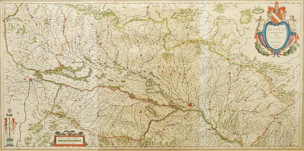
partially colored copperplate map on paper, around 1640, figurative title cartouche upper right "Alsatia Landgraviatus, cum Suntgoia et Brisgoia", two mile indicators lower left, map of Alsace, the Sundgau and Breisgau (Baden-Wuerttemberg), printed and assembled from two plates, published by Willem Blaeu, Amsterdam, fold, good age-appropriate condition, browned, slightly stained and creased, image 39.5 x 80 cm (HxW), passe-partout, framed behind glass, frame slightly bumped, overall dimensions 56.5 x 96.5 cm (HxW) German Description Gerhard Mercator, Karte von der Landgrafschaft Elsass Kosmograf, Theologe, Geograf und Kartograf (1512 Rupelmonde, Flandern - 1594 Duisburg), teilkolorierte Kupferstichkarte/Papier, um 1640, figürliche Titelkartusche oben rechts "Alsatia Landgraviatus, cum Suntgoia et Brisgoia", zwei Meilenzeiger unten links, Landkarte vom Elsass, dem Sundgau und Breisgau (Baden-Württemberg), von zwei Platten gedruckt und zusammengesetzt, erschienen bei Willem Blaeu, Amsterdam, Bugfalte, altersgemäß guter Zustand, gebräunt, leicht fleckig und knickspurig, Darstellung 39,5 x 80 cm (HxB), Passepartout, hinter Glas, gerahmt, Rahmen leicht bestoßen, Gesamtmaß 56,5 x 96,5 cm (HxB)