Have one like this?
Upload a photo for a free check of what yours may be worth.
Lot description
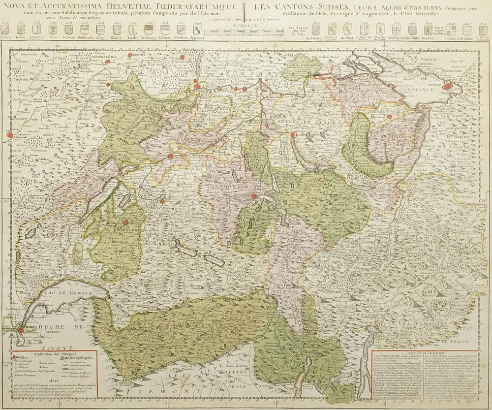
partly colored copperplate map on paper, around 1790, above the depiction titled "Nova et accuratissima helvetiae, foederatarumque les cantons Suisses, leurs alliés & pays sujets", with coat of arms and mile indicator, two legends at the bottom of the depiction, map of Switzerland, divided into the cantons, the area between Lake Constance and Lake Geneva is shown, published by Jan Barend Elwe, Amsterdam, middle bow, good age-appropriate condition, slightly stained and creased, image 49 x 59.5 cm (HxW), passe-partout, framed behind glass, frame slightly bumped, overall dimensions 67.5 x 78 cm (HxW) German Description Guillaume Delisle, Landkarte der Schweiz teilkolorierte Kupferstichkarte/Papier, um 1790, oberhalb der Darstellung betitelt "Nova et accuratissima helvetiae, foederatarumque les cantons Suisses, leurs alliés & pays sujets", mit Wappen und Meilenzeiger, unten in der Darstellung zwei Legenden, Karte der Schweiz, eingeteilt in die Kantone, dargestellt ist das Gebiet zwischen Bodensee und Genfersee, erschienen bei Jan Barend Elwe, Amsterdam, Mittelbug, altersgemäß guter Zustand, leicht fleckig und knickspurig, Darstellung 49 x 59,5 cm (HxB), Passepartout, hinter Glas, gerahmt, Rahmen leicht bestoßen, Gesamtmaß 67,5 x 78 cm (HxB)