Have one like this?
Upload a photo for a free check of what yours may be worth.
Lot description
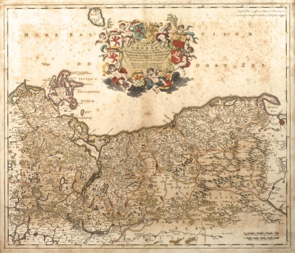
Frederick de Wit, Kupferstichkarte Pommern oben mittig prächtige, von Putten und Wappen umgebene Kartusche und hier bezeichnet "Ducatus Pomeraniae... per Frederick Wit", Darstellung des Gebiets zwischen Bornholm im Norden, Danzig im Osten, Berlin Süden und Ribnitz im Westen, teilkolorierter Kupferstich, um 1720, mittig geglättete Bugfalte, braunfleckig, hinter Glas gerahmt, Darstellungsmaße ca. 40 x 58 cm. Künstlerinfo: niederl. Verleger, Sohn des Frederick de Wit I. (1630 Gouda bis 1706 Amsterdam), übernahm vor 1680 das väterliche Verlagshaus und führte es erfolgreich weiter, 1661 Bürgerrecht von Amsterdam, 1664 Mitglied der St. Lucasgilde, 1694-1704 als Laienrichter bzw. Schöffe in Amsterdam tätig, ab 1698 Herausgabe der „Stedeboeken der Niederlanden (Städtebücher mit Stadtplänen und Ansichten)“ und der „Stadtbücher Europas“ nach der Idee seines Vaters, Quelle: Internet. Frederick de Wit, copper engraving map of Pomerania Magnificent cartouche surrounded by putti and coats of arms at the top centre, inscribed "Ducatus Pomeraniae... per Frederick Wit", depicting the area between Bornholm in the north, Danzig in the east, Berlin in the south and Ribnitz in the west, partly coloured copper engraving, c. 1720, centre crease smoothed, brown stains, framed behind glass, dimensions c. 40 x 58 cm. Artist information: niederl. Publisher, son of Frederick de Wit I. (1630 Gouda - 1706 Amsterdam), took over his father's publishing house before 1680 and continued to run it successfully, became a citizen of Amsterdam in 1661, 1664 member of the St Lucas Guild, 1694-1704 active as lay judge and alderman in Amsterdam, from 1698 publisher of the "Stedeboeken der Niederlanden (city books with city plans and views)" and the "Stadtbücher Europas" based on his father's idea, source: Internet.