Have one like this?
Upload a photo for a free check of what yours may be worth.
Lot description
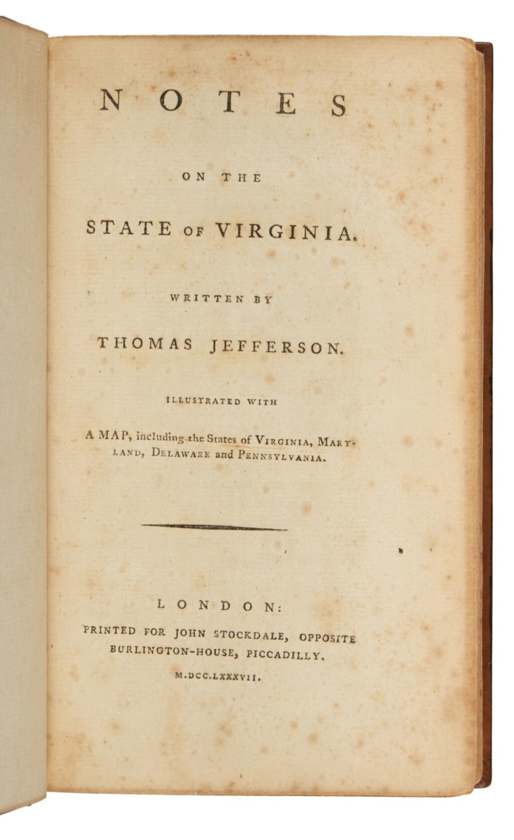
Jefferson, Thomas Notes on the State of Virginia ... Illustrated with a Map, including the States of Virginia, Maryland, Delaware, and Pennsylvania. London: printed for John Stockdale, 1787 8vo (207 x 125 mm). Engraved folding map partially hand-colored in outline, one in-text illustration, folding chart; offsetting from a clipping in gutter and inner margins of two pages, map with some separation at folds and two marginal short closed tears, title-page with some light spotting and a few stray spots in text. Full calf antique, spine with gilt-ruled raised bands and red morocco lettering piece. The first English edition, with the famed map of Virginia. In 1780, the Secretary of the French legation, François Barbé-Marbois, circulated a questionnaire to several members of the Continental Congress regarding the laws, institutions, and topography of the states. When Jefferson left for France in 1785, he took his draft reply with him and arranged to have two hundred copies printed in English. A copy ended up in the hands of an unscrupulous French bookseller, Pierre-Théopphile Barrois, who "employed a hireling translator and was about publishing it in the most injurious form possible" (Papers of Thomas Jefferson, ed. Boyd, 9:265). When Jefferson learned of the plans for a pirated edition, he arranged for Abbé André Morellet to prepare a suitable French translation. It was Morellet who encouraged Jefferson to include a map of Virginia and its neighboring states. Jefferson originally engaged an English engraver, Samuel Neele, to execute the plate, but the results proved disappointing as the map was riddled with errors. Jefferson finally decided upon a French engraver Guillaume Delahaye to make the corrections and in March 1786, two hundred and fifty impressions were pulled. John Stockdale, who was also Jefferson's longtime bookseller in London, wrote on 20 November 1786 to see if Jefferson had any interest in publishing the Notes in English: "Some time past two French Gentlemen call'd upon me, with a copy of your Minutes of Virginia, with a View to have it Printed, but I inform'd them that I had some reason to believe that a New Edition was coming out with corrections by the Author, and ... a large Map was engraving for the Work. I have some doubts wether it would pay the expences, at same time have a Wish to Publish it, with your Name, as I am convinced it is a Work of great Merit" (Papers 10:545). In his 8 December reply, Jefferson ignored Stockdale's proposition, possibly because he was thinking of having an English edition printed by Hoffman's Imprimerie Polytype (see Papers 10:587n). On 1 February 1787, Jefferson finally entered into negotiations with Stockdale: "You have two or three times proposed to me the printing my Notes on Virginia. I never did intend to have them made public ... [b]ut as a translation of them is coming out, I have concluded to let the original appear also. I have therefore corrected a copy, and made some additions. I have moreover had a map engraved, which is worth more than the book. If you chuse to print the work I will send you the corrected copy, and when it shall be nearly printed I will send the plate of the map" (Boyd, Papers 11:107). Jefferson did forward the plate to Stockdale, who added his imprint and pulled another 1,025 copies (Pritchard and Taliaferro 307). A Map of the country between Albemarle Sound, and Lake Erie, comprehending the whole of Virginia, Maryland, Delaware and Pennsylvania was compiled from various cartographic sources, chiefly maps of Virginia prepared by Jefferson's father and Joshua Fry between 1750 and 1754. In the cartouche Jefferson also credits the use of Scull's map of Pennsylvania (1770) and Thomas Hutchin's A New Map of the Western parts of Virginia, Pennsylvania, Maryland and North Carolina. He also employed Lewis Evans's map and John Churchman's Map of the Peninsula Between Delaware & Chesopeak Bay for the eastern shore (Pritchard and Taliaferro 307). REFERENCES: Celebration of My Country 109; Clark 1:262; Federal Hundred 100-6; Howes J78; Pritchard and Taliaferro, Degrees of Latitude 72; Sabin 35896; Sowerby IV:301–330; Vail 760