Have one like this?
Upload a photo for a free check of what yours may be worth.
Lot description
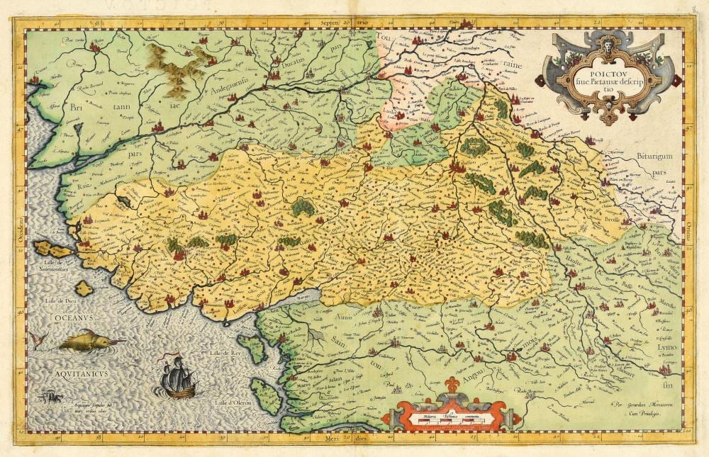
Engr., 29 x 46,2 cm, hand-coloured (margins sl. soiled, traces of central fold). - Nicely engraved map of the historic province Poitou in west-central France. With a large sea monster and ship in the ocean. First published in "Tabulae Geographicae Galliae, Belgii Inferioris & Germaniae" in 1585. Verso not visible. - Ref. Karrow 56/74. - Van der Krogt I:[4500:1A].