Have one like this?
Upload a photo for a free check of what yours may be worth.
Lot description
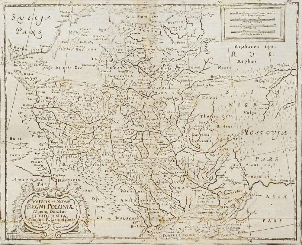
engraved map on paper, 17th/18th century, title cartouche lower left "Veteris et Novae Regni Poloniae Magniq Ducatus Lithuaniae [...]", mile indicator upper right, Kingdom of Poland and Grand Duchy of Lithuania, the area from the Baltic Sea to the Black Sea, folds, age-appropriate condition, foxed, backed missing parts on the center fold, rubbed, image 20.5 x 25.5 cm (HxW), unframed, overall dimensions 25.5 x 31 cm (HxW) German Description Philipp Clüver, Landkarte von Polen-Litauen Geograf und Historiker (1580 Danzig - 1622 Leiden), Kupferstichkarte/Papier, 17./18. Jh., Titelkartusche unten links "Veteris et Novae Regni Poloniae Magniq Ducatus Lithuaniae [...]", Meilenzeiger oben rechts, Königreich Polen und Großfürstentum Litauen, das Gebiet von der Ostsee bis zum Schwarzen Meer, Bugfalten, altersgemäßer Zustand, stockfleckig, hinterlegte Fehlstellen am Mittelbug, berieben, Darstellung 20,5 x 25,5 cm (HxB), ungerahmt, Gesamtmaß 25,5 x 31 cm (HxB)