Have one like this? Check yours freeOr have an appraiser value it
Lot description
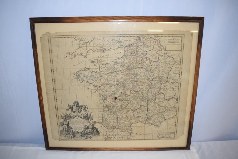
Antique Map of France, Dated 1719, Published by John Senex. Map shows the updated borders of France following the implementation of the use of triangulation to measure distances and still includes the lines of the previous map of France to show the "errors" made by the previous map done by Nicolas Sanson who was the Royal Geographer to the French Kings during mid to late 1600s. Map has been framed to preserve its condition. Some small imperfection, otherwise overall this antique map appears to be in fantastic condition for its age and would make a great addition for display in anyones home, shop or office!