Have one like this?
Upload a photo for a free check of what yours may be worth.
Lot description
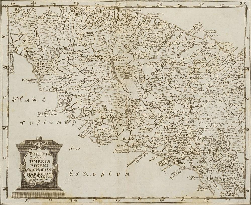
copperplate engraving on paper, lower left title cartouche "Etruriae, Latii, Umbriae, Piceni, Sabinorum et Marsorum vetus et nova descriptio", 2nd half of the 17th century, map of the Italian regions of Etruria, Latium, Umbria, Marche, Sabinorum and Marsorum, center fold, age-appropriate condition, tear in the middle of the reinforced center fold, foxing, partially creased, image 21 x 25.5 cm (HxW), unframed, overall dimensions 22 x 30.5 cm (HxW) German Description Philipp Clüver, Karte Mittelitaliens Geograf und Historiker (1580 Danzig - 1622 Leiden), Kupferstich/Papier, unten links Titelkartusche "Etruriae, Latii, Umbriae, Piceni, Sabinorum et Marsorum vetus et nova descriptio", 2. Hälfte 17. Jh., Landkarte der italienischen Regionen Etrurien, Latium, Umbrien, Marken, Sabinorum und Marsorum, Mittelbug, altersgemäßer Zustand, Riss mittig am verstärkten Mittelbug, stockfleckig, partiell knickspurig, Darstellung 21 x 25,5 cm (HxB), ungerahmt, Gesamtmaß 22 x 30,5 cm (HxB)