Have one like this?
Upload a photo for a free check of what yours may be worth.
Lot description
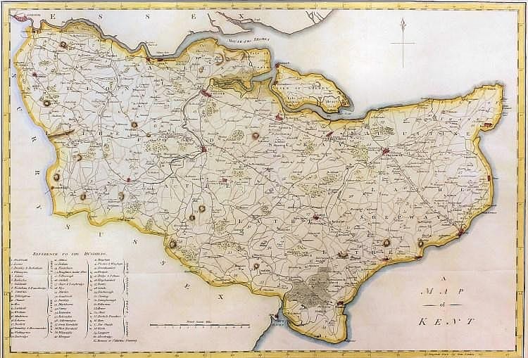
Samuel John Neele (1758-1824) - Coloured engraving - "A Map of Kent", 13.5ins x 19.5ins, published March 1st 1797, Richard Blome (1660-1705) - Coloured engraving - "A Mapp of Kent with its Laths and Hundreds", 11ins x 13ins, a coloured engraving - "The Coast from Sandwich to Winchelsea", 4.625ins x 7ins, circa 1808, and two other Kent maps, all framed and glazed